Import and Export Functions
let's begin
CalTopo plays well with other programs and functions. Importing and exporting are important components of any map program, and CalTopo is no different. In this module, we will go through the Import and Export menus and look at some of the tricks and tips for using these tools.
Lessons in this Chapter:
- Importing
- Exporting
- Google Earth Integration
- Working with GPS Units
- Moving Your Data From Other Mapping Programs to CalTopo
Topics on this Page:
Import and Export Menus
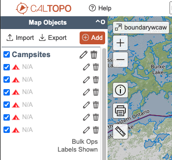
The Import and Export menus are in the top of the map objects menu. In the mobile, they are in the Map Objects Menu in the upper right corner.

The import function allows you to bring in GPX, KML, or GeoJSON data files and we will talk about what each of these file types are.
The export function has more options, starting with the ability to export the three file types, as well as add a connection to Google Earth or copy map data to a new map. Additionally, both tools currently have a link for connecting directly to Garmin GPS devices through GPSIO, although with newer devices it is not necessary to have a special connection.
File Types
CalTopo works with three types of object files: GPX, KML, and GeoJSON. Below we will look at how they differ and when to use one or another.
GPX
GPX files are the standard format for most GPS units. GPX, or GPS Exchange Format is an open source file format that contains information types such as coordinates, waypoints, tracks and routes. There may be additional information in the file such as timestamps and date, elevation, and more, but these are not required. In fact, if a GPX file contains info tags that CalTopo does not recognize, you may not be able to import that file.
In a GPX file, data is saved as latitude and longitude in the WGS84 datum. Time stamps are UTC time. You can view the contents of a GPX file using a simple text editor on your computer.
KML and KMZ
KML stands for Keyhole Markup Language, and it was originally developed as a data format for Google Earth. Similar to a GPX file, KML files are readable with a text editor and at the most basic level they store latitude and longitude data in WGS84. KML files can also store much more information such as modeling information, layers and overlays.
A KMZ file is a zipped KML file, and is a common format for sharing KML files.
GeoJSON
JSON is the Javascript Object Notation and the GeoJSON is specific for handling geographic object data. In CalTopo, GeoJSON files are used to provide a full backup of a map, including all object attributes, such as color, style and folder structure.