Objects
let's begin
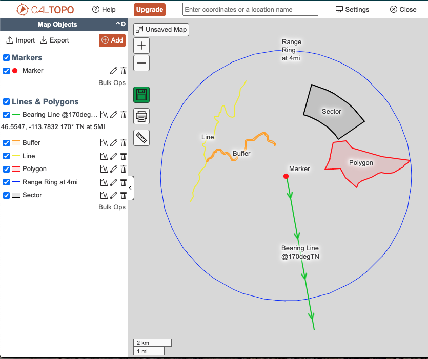
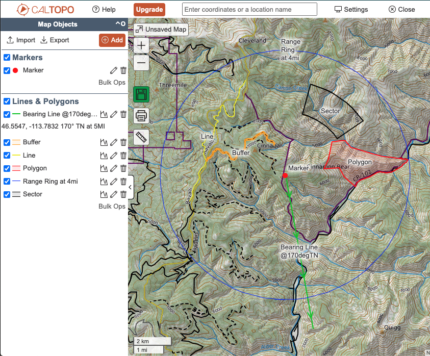
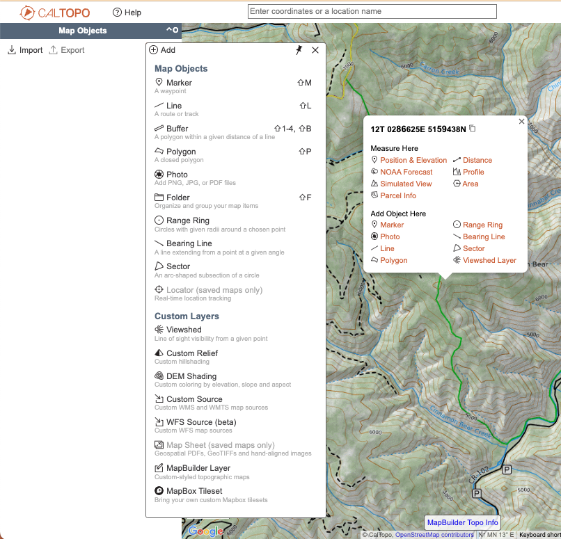
In CalTopo, you use map objects to build a map. Objects can serve a wide range of functions. The basic objects list includes Markers, Lines, Polygons, Buffers, Folders, Bearing Lines, Range Rings, and Sectors.
Lessons in this Chapter:
Depending on your map purpose, you may use any, all, or none of these objects. The most common objects are Markers and Lines, as well as Folders used to organize groups of objects.
Objects give context and direction to your map. Objects provide a visual reference on top of base layers. When you add an object to the map, CalTopo calculates information for that object such as elevation, aspect, size or length, profile, and terrain statistics.
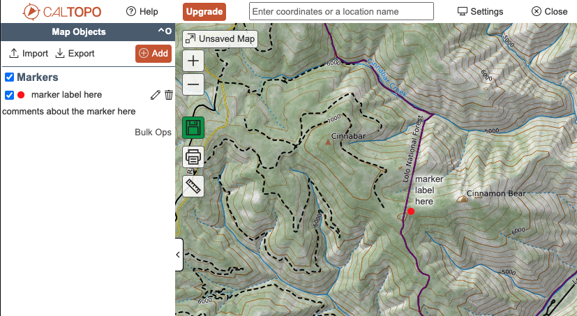
When you draw an object, you indicate the location either by entering coordinates you already know, or by clicking on the map to create the object at that location on the map. You also add your own context and information by giving the object a name and a description, and choosing color or style for the object.
There is no limit to how many objects you put on a map or how you use the objects. Keep in mind though, that a map with hundreds of objects may load slowly and be difficult to use. This is one reason we recommend making separate maps instead of just one map to store all of your CalTopo data.

Using Objects in the Mobile App
Objects can be added to a map in the mobile app or in the web browser versions of CalTopo. All of the same objects are available in each, though some drawing and editing functions are more limited in the app.
For specific instructions for using each object, refer to the lessons in this section.


